Select A Point On The Map
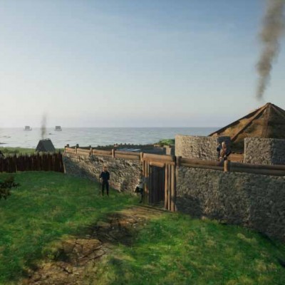
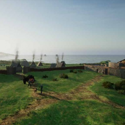
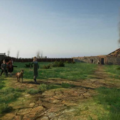
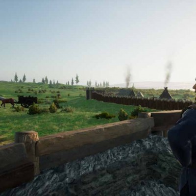
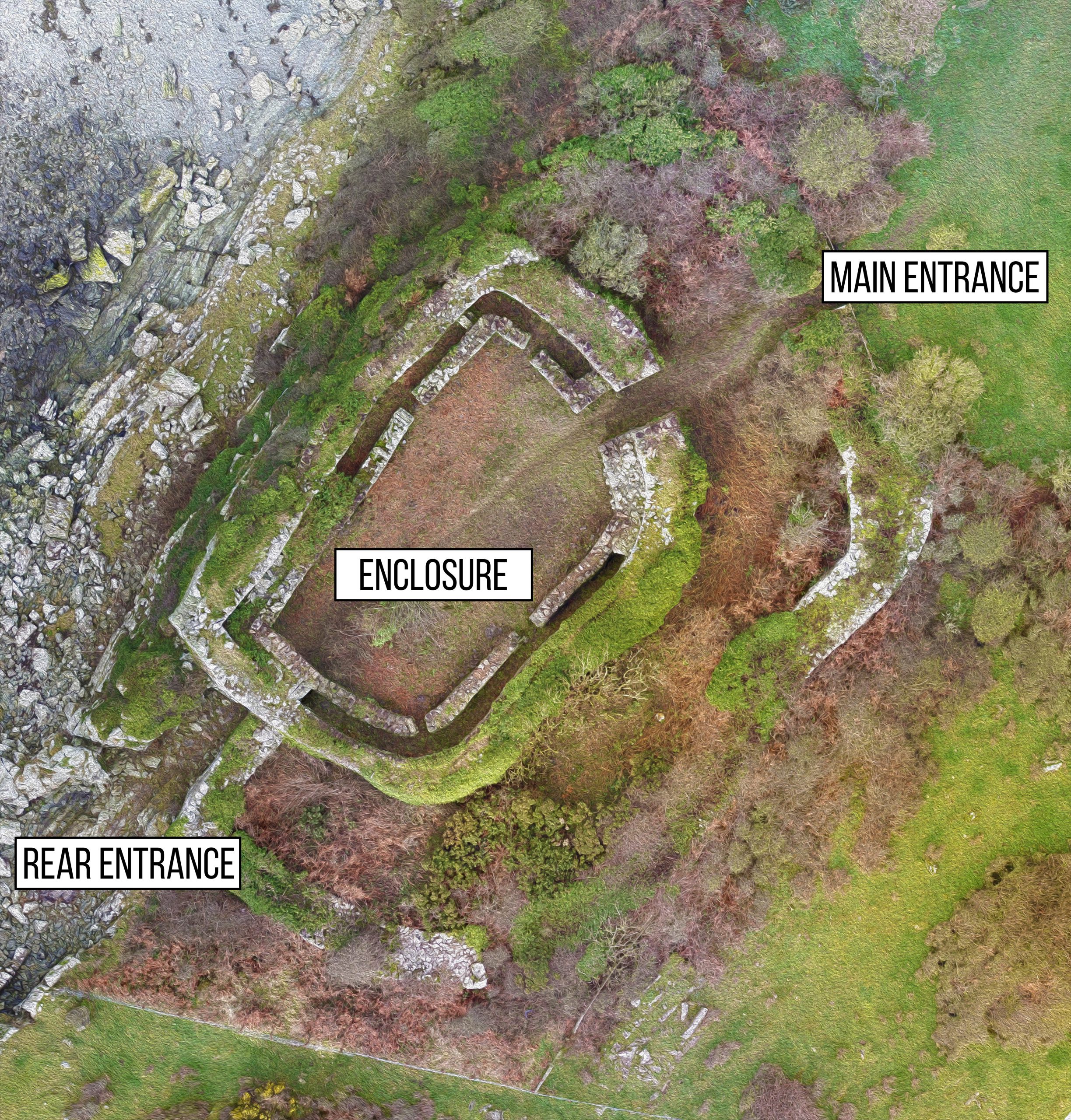
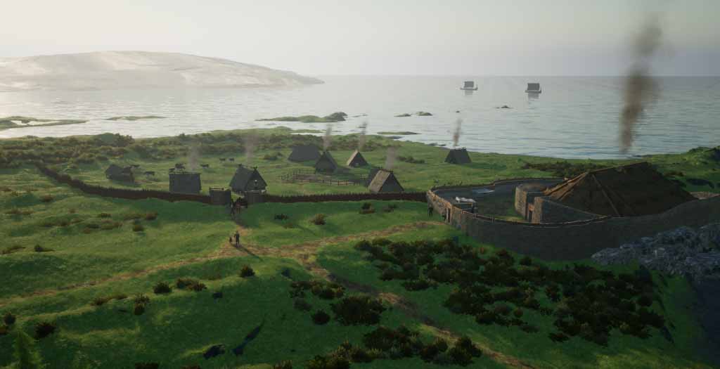
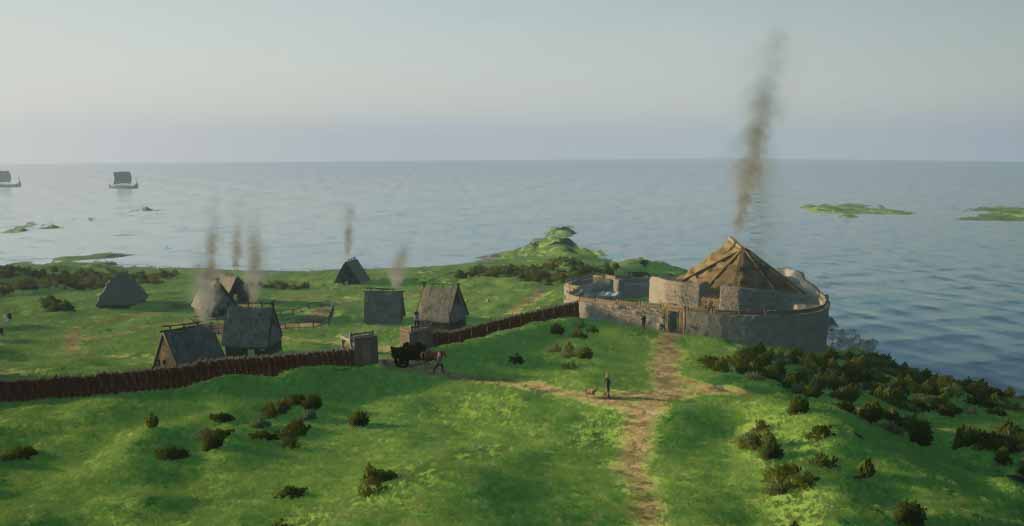
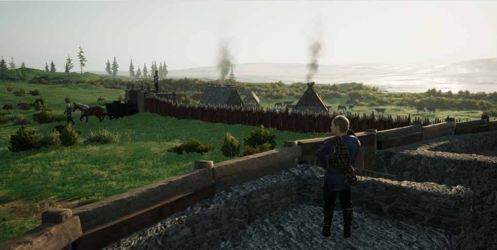
When visiting the site, you can make your way to one of the points shown in the map below. Select that point and you will be able to see how Castle Haven may have looked in the Iron Age.
Castle
Haven
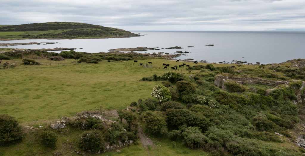
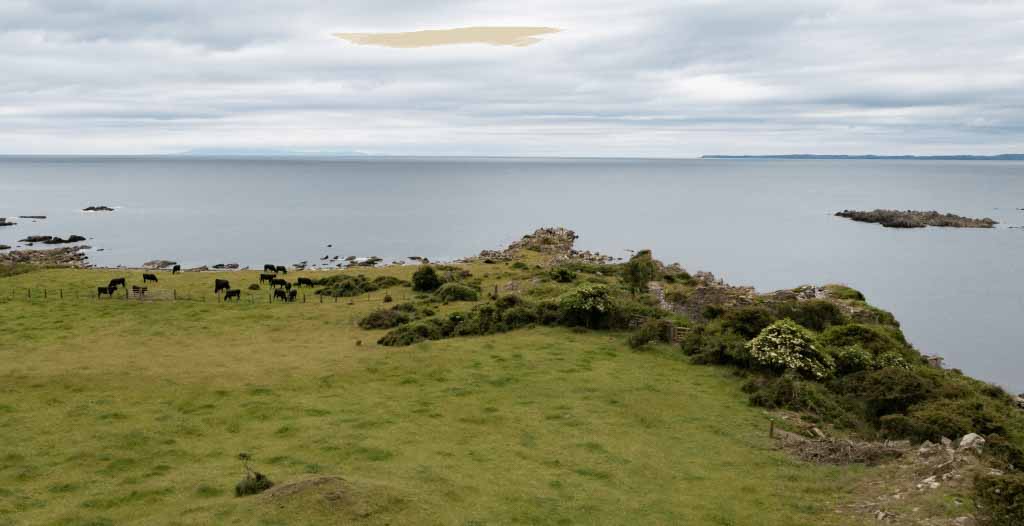
Castle Haven is an impressive fortification located on the rocky foreshore at Kirkandrews, in Dumfries and Galloway, Scotland. It is a rare example of a galleried dun, a type of fortified homestead common in Argyll and the Western Isles. Unlike its western seaboard counterparts, Castle Haven has a number of unique features, including its drystone walls, which were reconstructed in the early 20th century to protect it from damage.
The fortification is D-shaped, backing against a straightish west wall, with a main entrance in the north-eastern sector and a stepped gateway in the south wall leading to a boat-landing on the shore below. Within the thickness of the walls, there are three narrow galleries, which are linked to the interior by six doorways. Excavations have revealed evidence of both Iron Age and medieval occupation, with artifacts such as bronze spiral finger-rings, blue glass paste beads, pieces of mail, and bronze penannular brooches found on the site.
Castle Haven is a fascinating and valuable site for those interested in Scotland’s ancient past, and its unique features and rich history make it a must-visit destination.
Virtual
Reconstruction
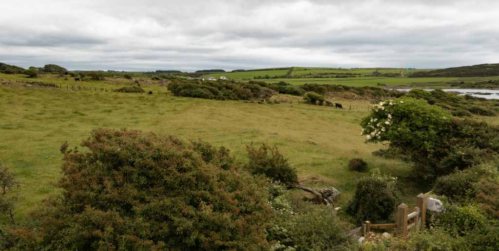
When visiting the site, make your way to one of the three locations on our map. When at the location, select the point on the screen – you can then use your phone as a virtual time machine to view what the fort may have looked like over a thousand years ago from where you are standing!

2D & 3D
Map
As part of the reconstruction process, our drone team mapped the site at Castle Haven in order to get the most accurate data of the structure possible. The result is a beautiful map clearly showing the outlines of the fort and the details of the walls.
Castle Haven
Gallery


